Recon Weather is a volunteer team that launches weather balloons and deploys surface instruments around severe storms. Data from every launch is shared live in the free Recon Weather app.
Balloon soundings are our primary measurement. IsoPods and vehicle instruments are secondary.
Our own team-built weather balloon instruments, designed to be light and low cost so we can launch several at once.
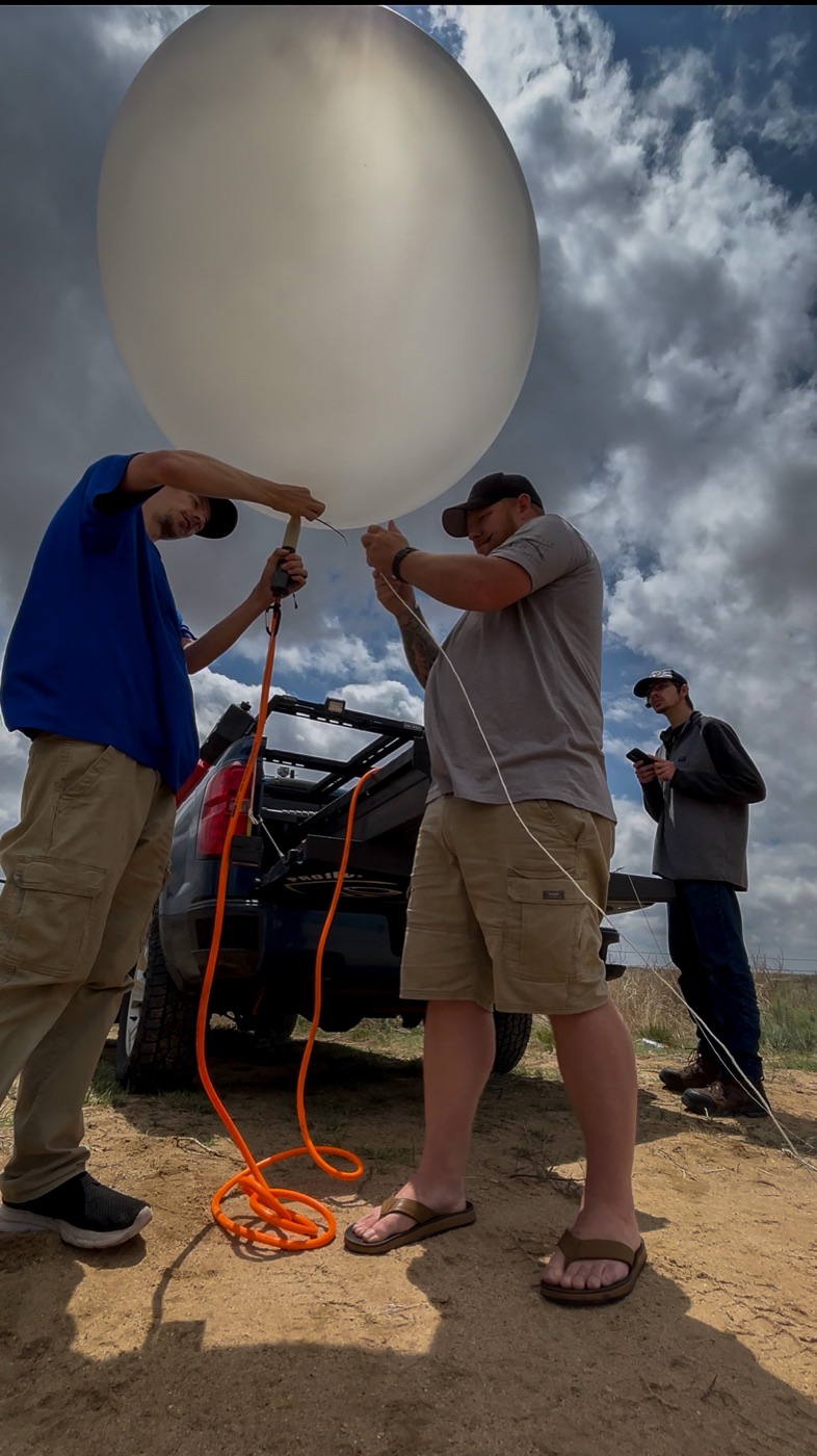
A small balloon carries the sonde up through the storm environment. It measures temperature, humidity and pressure, and sends them with its GPS position every 7 seconds, or every 2 seconds in fast mode. Winds are worked out from how it drifts. Every flight gives us a Skew-T and a full thermodynamic profile of the storm environment. We calibrated it against a NIST-traceable reference radiosonde flown on the same balloon.
The same STING platform with the weather sensors left off and a smaller battery.
These send GPS position only, so they measure wind, not temperature or moisture. Each flight is a kinematic-only profile: wind speed and direction with height, plotted as a hodograph. They are built for the lowest 6 to 9 km of the atmosphere. Mixing them in with full sondes lets us sample wind at more spots for less money.
Ground stations in our vehicles that pick up every sonde in flight.
Up to seven sondes share one radio channel, each sending in its own GPS-timed slot so they never talk over each other. The receiver stores what it hears and uploads it to our servers. We have tracked a sonde out to about 87 miles.
Small ground stations that measure surface pressure, set out as a network.
Each pod records pressure 20 times a second, timestamped by GPS. When it comes back in range of WiFi, including our vehicles, it uploads everything it stored. Together the pods show how pressure changes move as storms pass. Each pod also doubles as an auxiliary sonde receiver, recording our balloons' telemetry out to about 40 miles to fill gaps in the receiver network.
Instruments mounted on our field vehicles.
They record surface conditions continuously while the team drives. Some carry wind instruments, others measure pressure. Driving across a storm boundary locates it at the surface. Every VDU is also a primary sonde receiver, picking up our balloons out to about 80 miles and uploading their data live when connected.
How everyone follows along.
The field team streams launches and intercepts live. Data from every instrument flows to our servers and into the free Recon Weather app in real time, so you see what we see.
In 2027 we will launch coordinated soundings from several vehicles to compare conditions across storm boundaries and around individual supercells. Our STING radiosondes have been validated against a NIST-traceable reference radiosonde on three same-balloon flights.
Real chasers, in the storm, gathering what archived data never could. Meet the people flying the balloons and calling the targets.
A live feed of every radiosonde our team has launched, pulled straight from the same API that powers the app. Tap any flight to open its full sounding, with everything we measured on the way up.
Everything our team collects, plus national radar, lightning, and warnings, in one fast, free app. The same data that drives the mission, live on your phone.

The moment the National Weather Service issues a warning for an address you care about, Recon Weather Notify rings your phone, texts you, and emails you, so you're never the last to know, even for family three states away.
Every mission has a real cost: the instruments, the gear, the fuel to get a team into position. Here is what is on the board and what each one takes to run. Back a mission through our GoFundMe and we will credit you on the mission log when the data comes back.
Costs are approximate and cover the field expenses of each deployment. Support goes to Recon Weather, an independently funded operation. We are not a registered charity, so contributions are not tax deductible.
Recon Weather is built and funded independently, no ad networks, no data brokers. Every dollar keeps the radar servers running and the balloons flying. Here's how to be part of it.
In 2026, our supporters raised over $28,000 to fund our first year of operations. We can't thank you enough. Let's do it again.
We're an independent storm-research mission, no ad networks, no data brokers, no big backer writing the checks. Company sponsorships are what let us fly more balloons, build more probes, and keep the whole thing free and open. If your brand belongs in front of a weather-obsessed audience, this is a place to be seen doing real science.
Tell us about your brand and what you're looking for, and we'll put together a package that fits, from a simple logo placement to a season-long partnership. In-kind works too: gear, vehicles, connectivity, or cloud.
Prefer email? Reach us directly at [email protected].
Recon Weather runs on people, not ad money. These roles are volunteer today, with the honest goal of growing into paid positions as the mission funds. Most are remote and US-based; the field team travels to the storms. If you love severe weather and want to help chase it, build for it, forecast it, or tell its story, we want to hear from you.
Help design and iterate the 3D-printed components that make our radiosondes fly. You'll model enclosures, sensor mounts, and payload hardware in CAD, then refine each part through print, test, and launch until it holds up in the real atmosphere.
Ride into severe weather with the team and document it from the inside. You'll run live video streaming units, deploy data probes, help launch weather balloons, take part in hurricane and tropical deployments, and assist with post-storm disaster relief.
Help build the app, the data pipeline, and the science behind it. We're after an experienced programmer who's comfortable across the stack and can own real features end to end.
Read the atmosphere for the team. Build forecasts and mesoanalysis, interpret soundings, and help point the field team toward the day's best opportunities and biggest risks.
Tell the mission's story as it happens. On busy weather days you'll build infographics, post live social updates as the team works in the field, help create content, and keep the community that funds all of this engaged.
Have a camera pointed at the sky, a storm-prone horizon, a coastline, a mountain, or a city skyline? Join the network and we will turn it into a free public weather webcam inside the app. We send you a private link to stream to, so there is no complicated setup on your end.
RISE-26, high-Resolution Intelligence into Storm Environments, is our crowdfunded push to define the storm environment with unprecedented clarity. More balloons and probes into the storm, every launch streamed live, and all of it turned into open data that helps us and other researchers call the shots sooner. Full operations run May–June 2026.
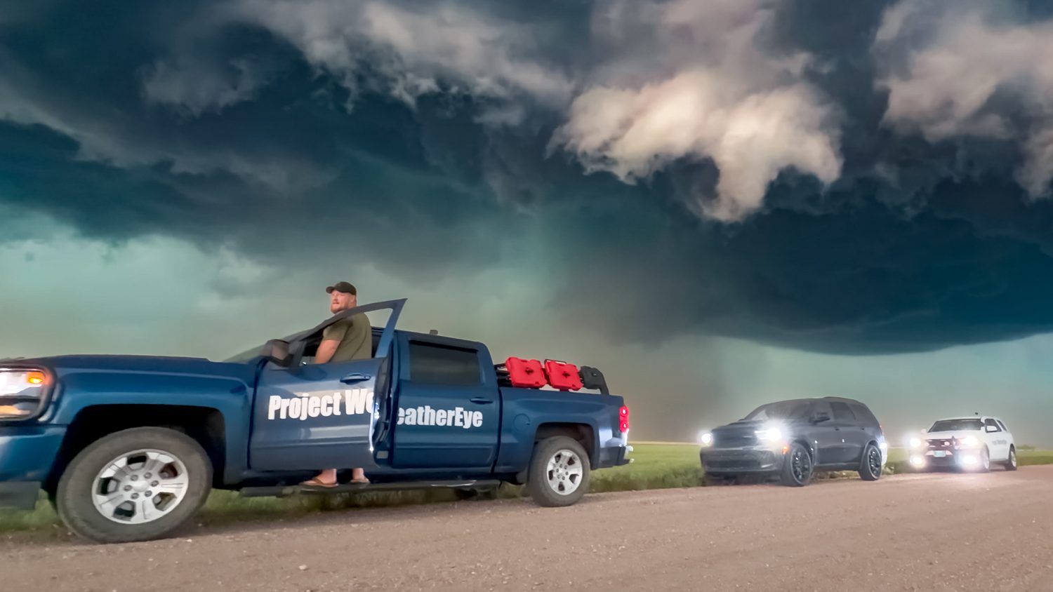
Radiosondes rising to 100,000 ft, streaming temperature, dewpoint, pressure and winds every second, live skew-T, GPS track, and CAPE / shear / helicity on every flight.
20–50 rapidly-deployed surface probes drop a temporary high-density mesonet over hundreds of square miles, each reporting every second, for up to six days in the field.
Lightweight tracer balloons launched straight into the inflow notch, tracking air parcels from the surface up into the updraft as live 3D trajectories over radar.
Weatherproof cameras stream HD from every side of the storm for days at a time, geo-tagged live on the radar map for a true picture of what's unfolding.
Recon Weather runs alongside the hardware, apps, and people we trust in the field.