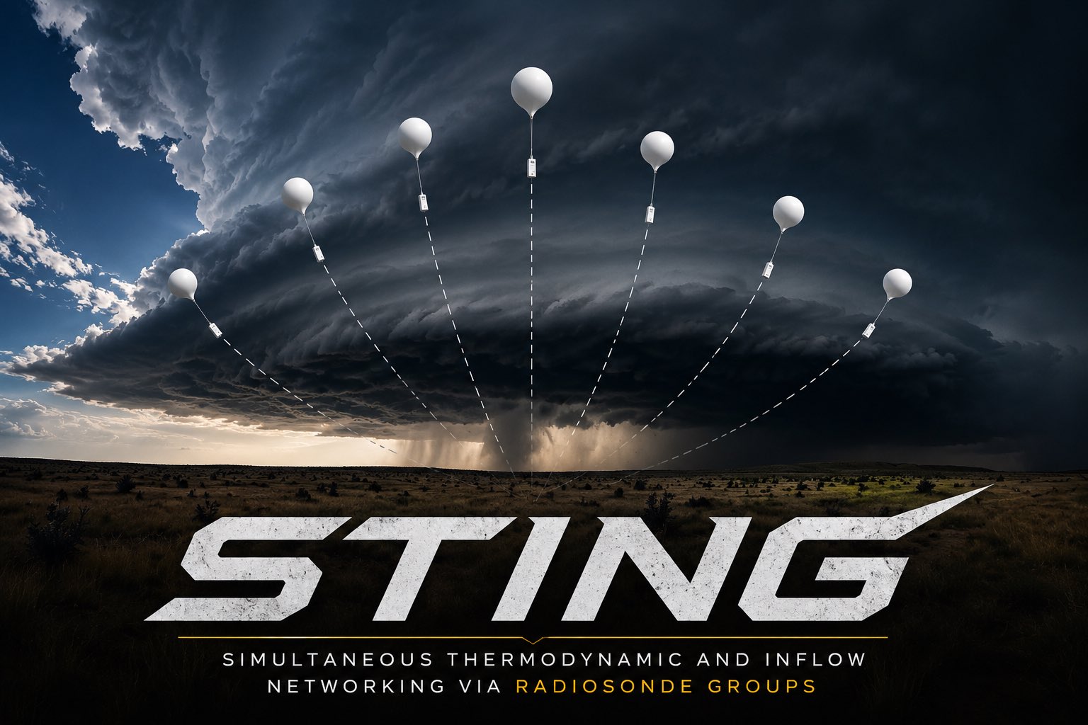
STING, short for Simultaneous Thermodynamic and Inflow Networking via radiosonde Groups, is the radiosonde system we design and build. A full sonde costs about $43 in parts, which makes it practical to launch several at once from different vehicles.
Measurements: temperature, humidity and pressure, plus GPS position for winds. Up to seven sondes share one radio channel. Receivers in our vehicles upload the data, and each flight appears live in the Recon Weather app.
Validation: three same-balloon co-flights with a NIST-traceable InterMet iMet-4, and comparisons with Vaisala RS41 radiosondes.
Field use: 30+ launches, a five-sonde launch, reception to about 140 km, a near-storm inflow sounding and a flight through a hail core.
A radiosonde is a balloon-borne instrument package that transmits pressure, temperature, humidity and GPS position during ascent, producing an in-situ vertical profile of the troposphere and lower stratosphere.
Direct measurements that radar retrievals, satellite soundings and model analyses are compared against.
Operational soundings, launched twice daily worldwide, are assimilated into numerical weather prediction models.
CAPE, CIN, bulk shear, helicity and LCL height from a single profile characterize the convective environment.
The sonde transmits raw readings. Processing, quality control and archiving are done on our servers.
A small thermistor measures air temperature, a digital sensor measures humidity, and a barometer measures pressure, with GPS-derived pressure taking over high in the atmosphere. GPS tracks position, and winds are worked out from the drift.
Up to seven sondes share one radio channel, each sending in its own GPS-timed slot. A sonde sends every 7 seconds, or every 2 seconds in fast mode. Receivers store what they hear and upload it to our servers.
The full sonde measures temperature, humidity, pressure and wind. The GPS-only version is the same platform with the weather sensors left off, built for winds in the lowest 6 to 9 km. Two full sondes plus four GPS-only units still give six wind profiles.
Natural latex balloons and cotton line. Small balloons of 20 to 50 grams keep helium use and cost per flight down, so we can launch more often.
The production configuration as documented in our methods manuscript. Encoded resolution is listed where relevant; it is not the same as instrument accuracy.
Dew point is derived from the bead temperature and corrected humidity. Winds are derived on the server from the GPS track. Balloon ascent rate is not treated as a measurement of storm updrafts.
On three flights in July and August 2026, a STING sonde and a NIST-traceable InterMet iMet-4 radiosonde flew on the same balloon, so both sampled the same column. Readings were matched by pressure level. STING has also been compared with Vaisala RS41 radiosondes.
Source: our STING methods manuscript (draft v0.15, October 2026). Numbers are from individual flights and are reported as measured, not as guaranteed accuracy. The humidity correction was fitted on this same flight, so its fit describes calibration data rather than an independent check.
Launched on the inflow side of a supercell, ahead of the rain core, so the sonde sampled the undisturbed inflow environment.
The CAPE and shear values are first-pass STING estimates pending a full parcel analysis.
Build enough full and GPS-only sondes for coordinated launches from several vehicles across storm boundaries and around supercells. A methods paper describing the system is in progress.
The 2027 budget includes 200 full STING radiosondes and 160 GPS-only sondes, plus helium and field equipment.